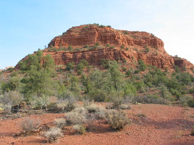
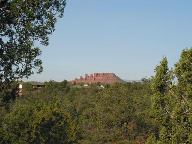
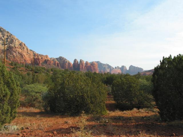
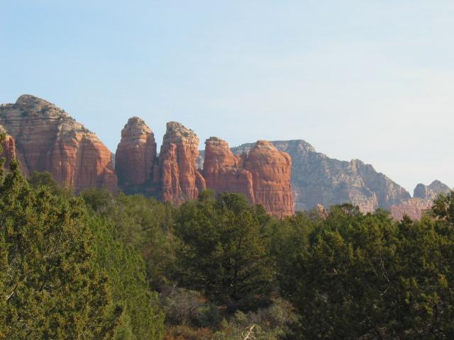
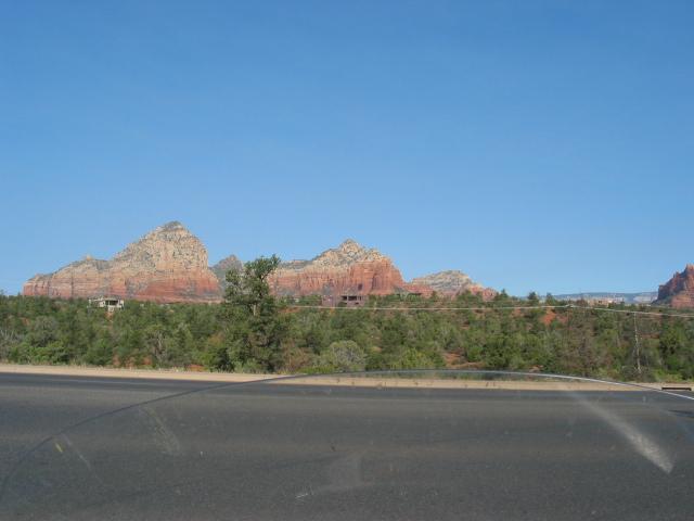
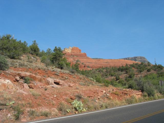
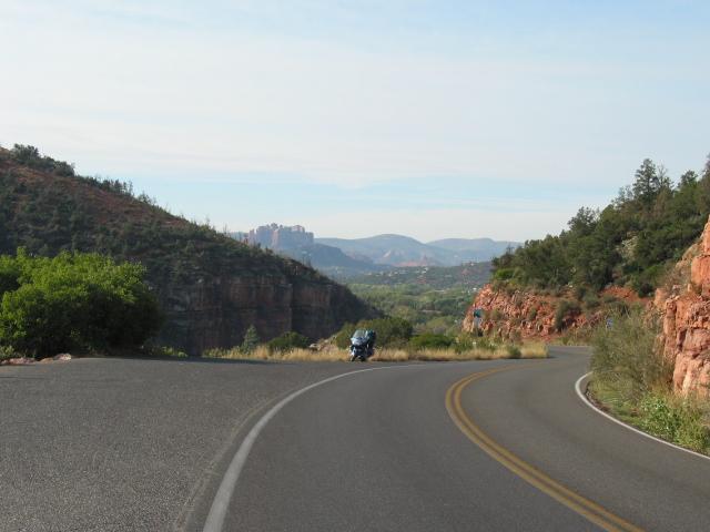
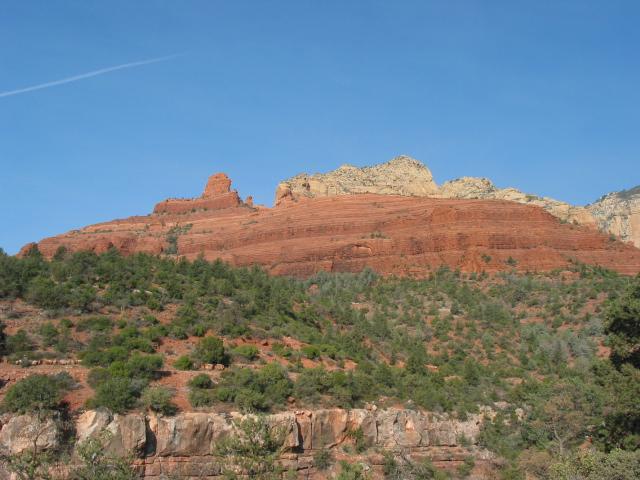
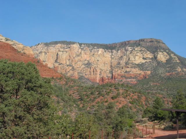
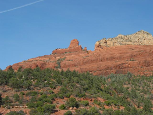
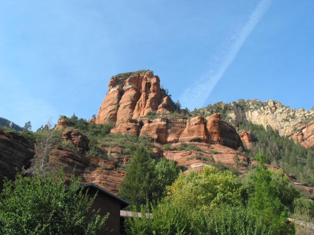
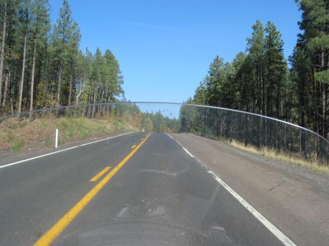
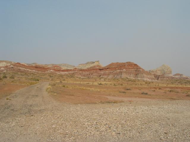
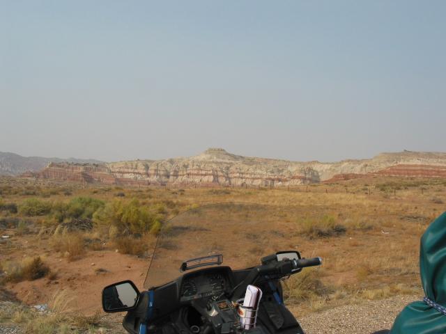
I left Sedona at about 9 am. On the way out, I took some pictures around the area.

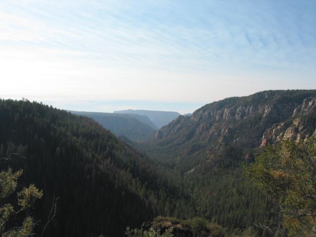
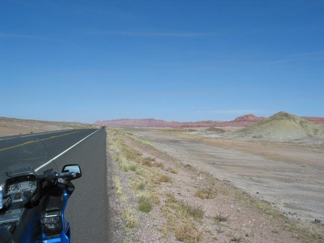
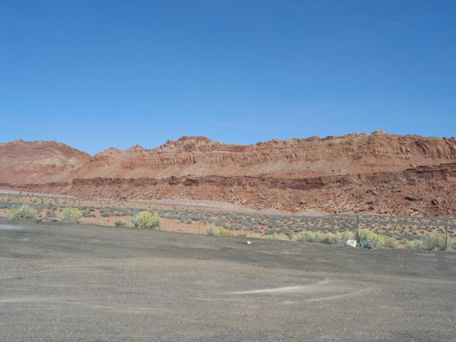
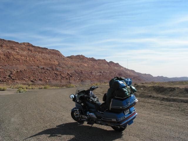
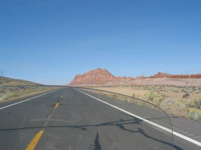
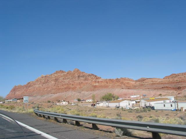
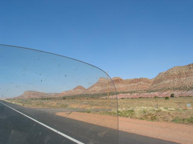
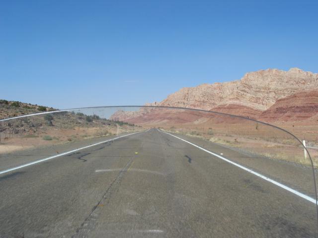
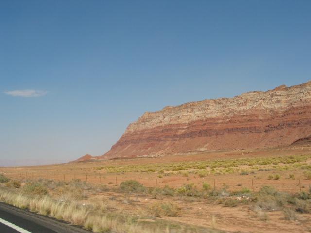
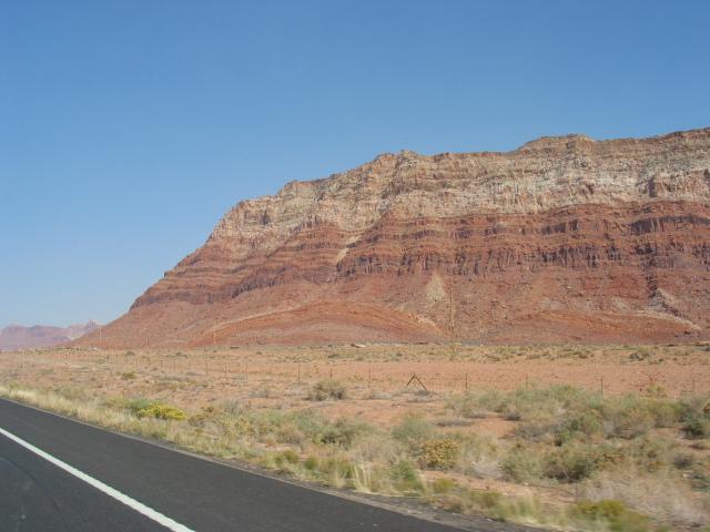
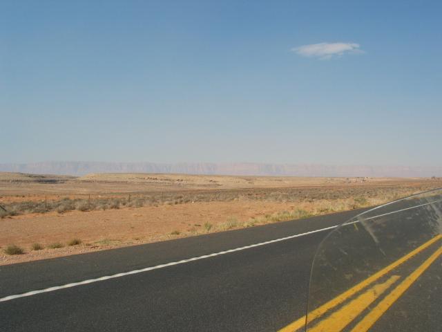
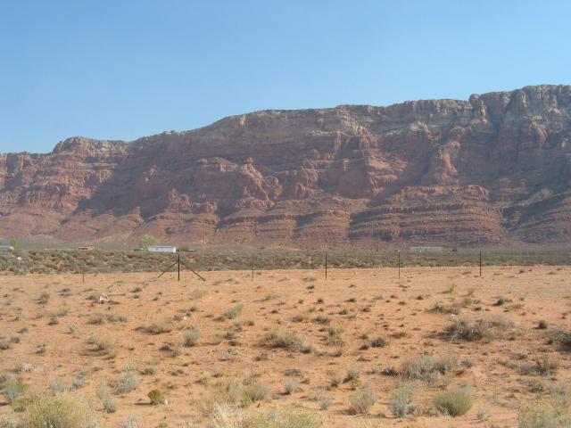
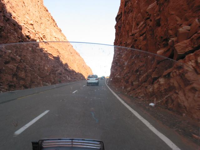
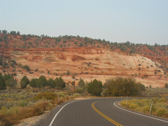
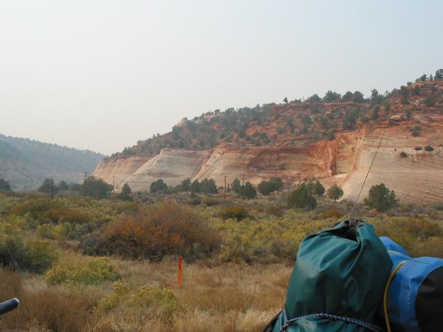
I took Route 89 up through Page, AZ, and into Utah. I saw a lot of the smoke blowing in from SoCal. The wind was also really high. It was clear that I was not going to have very good visibility as I approached the south rim of the Grand Canyon. I took some shots along the way anyway.

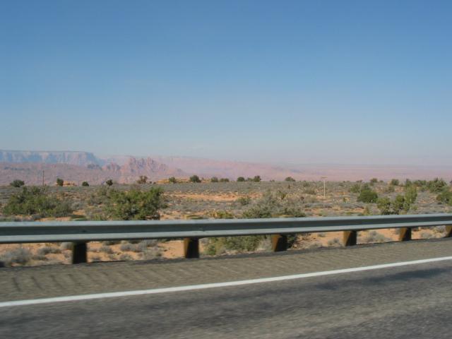

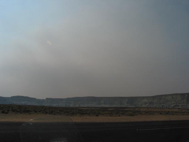
I got as far as the town of Kanab, where I asked about all the smoke. I found out that, in addition to the California fire, there were two nearby fires. One was at the north rim of the Grand Canyon, the other was just west of town. The National Guard had been called out to deal with the fire.
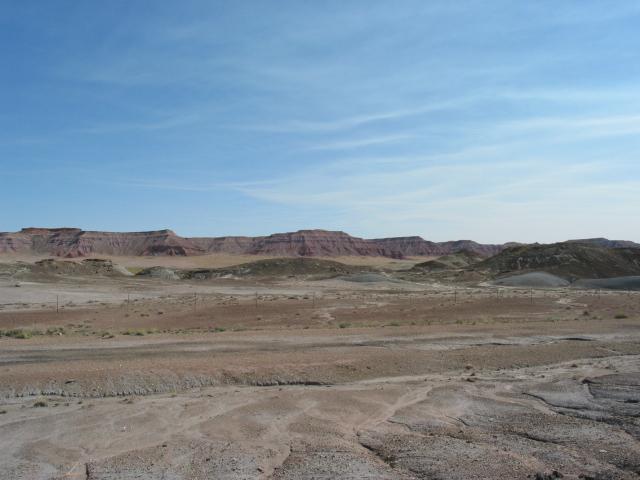
I headed out of town for 20 miles and ran into thicker and thicker smoke. In all, I had traveled 100 miles in smoke, and it was getting worse. I was within 50 miles of Bryce Canyon. Finally, I decided that, since 89 was the only route out of the area, I would turn around.
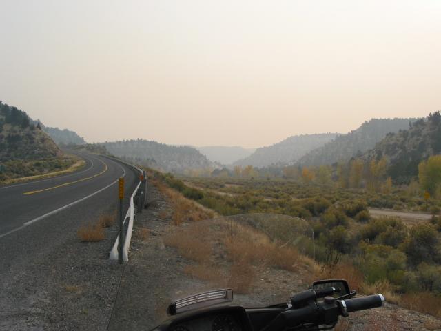
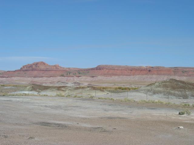
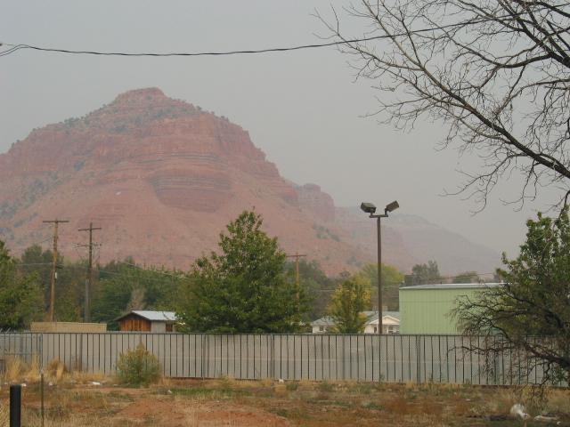
Here's what it looked like about an hour and a half before sundown.
